This past summer, I got an awesome internship opportunity located in California. My love for the mountainous west and the constraints of life coalesced into a peculiar form of adventure. The organic goal was to maximize miles in remote mountains with minimal time and cost. The solution was a series of long drives into the night, sleeping in the car, and charging the trails in the morning. This article covers my five favorites of these mini epics. Some honorable mentions that didn’t quite make the list are the Mist trail in Yosemite valley and the trail towards Kearsarge pass from Onion valley.
5. Buffalo Park towards Mt. Eden
Location: Flagstaff, AZ
Date: May 14th
Distance: 5.25 miles
Time: 1h29
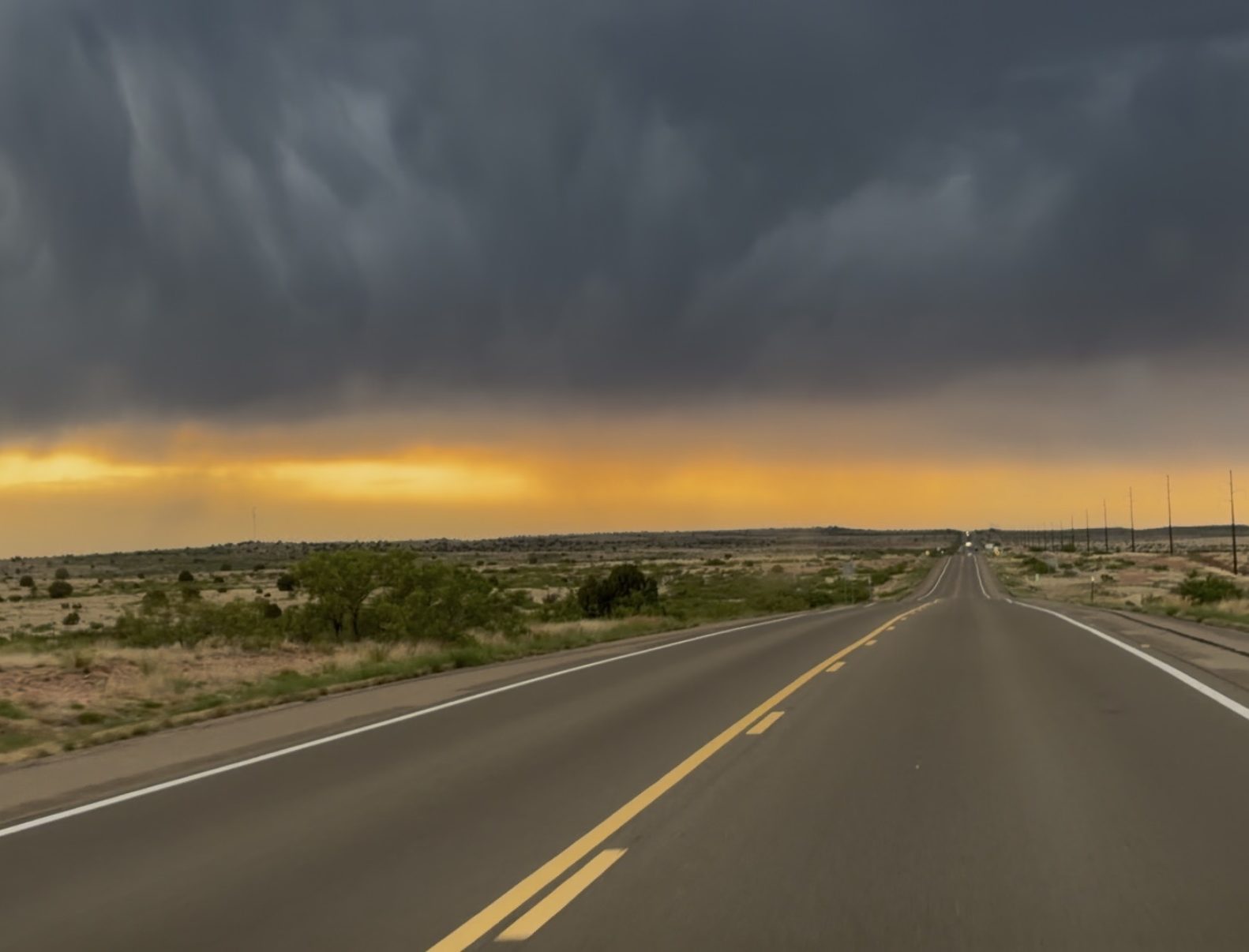
Backstory: The previous day, I left around 11 AM from College Station, TX and drove 17 hours. I parked on a random residential street a few blocks from Buffalo park and slept in my car for a few hours.
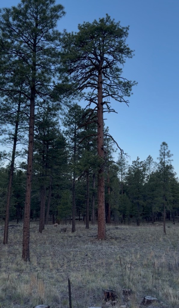
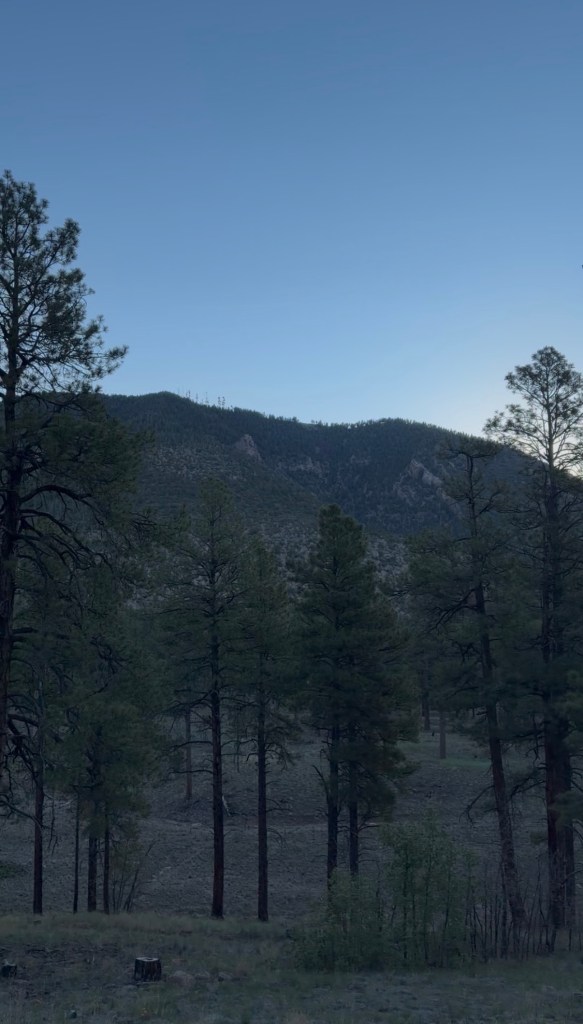
The experience: After my Crosstrek’s thermometer read 100 °F for hundreds of miles the previous day, it was surprising to wake up to a chilly 45 °F. I had my vest packed full of carbs and water and planned to wander up to the summit of Mt. Eden. The first half mile of the run passed through Buffalo Park, which is a flat plateau looking out over pine forest in every direction. 2.4 miles into the run, I had to stop. My knee said I was done and I ended the activity on my Garmin. This lingering knee injury had been pummeled throughout Ironman preparation and reliably buckled under the abuse I continued to inflict upon it.
On my way back to the car, I quickly got over the disappointment of not being able to push farther. I meandered back along the trails and appreciated the beauty around me. The air was cool, crisp, and tasted like pine. I was content that something as simple as filling my lungs brought me happiness. Passing back through Buffalo Park, I found a convenient set of dip bars and a pull-up bar. I did a quick workout, walked back to the car, and started driving to the eastern Sierras. The people of Flagstaff are pretty lucky to have something this awesome in their backyard.
4. Sunrise trailhead to Cloud’s Rest
Location: Yosemite National Park, CA
Date: August 8th
Distance: 12.63 miles
Time: 2h39
Backstory: I finished the last day of my internship, and my car was already packed with all my things in the parking lot. I drove 5 hours to Tenaya Lake and went to sleep in the trailhead parking lot. Within a couple hours, there was a group of a dozen people being loud and shining lights everywhere. After listening to them for hours and having car headlights blasting into my eyeballs for hours, I could tell they were missing someone. It was strange that everyone was clustered in one spot, not actually doing anything. After a few hours of this, I got out of the car shirtless and talked with them. I told them I didn’t have cell service, and they agreed to keep it down. I still barely slept that night and it turned out the missing guy had gone to a hotel and didn’t tell anyone.
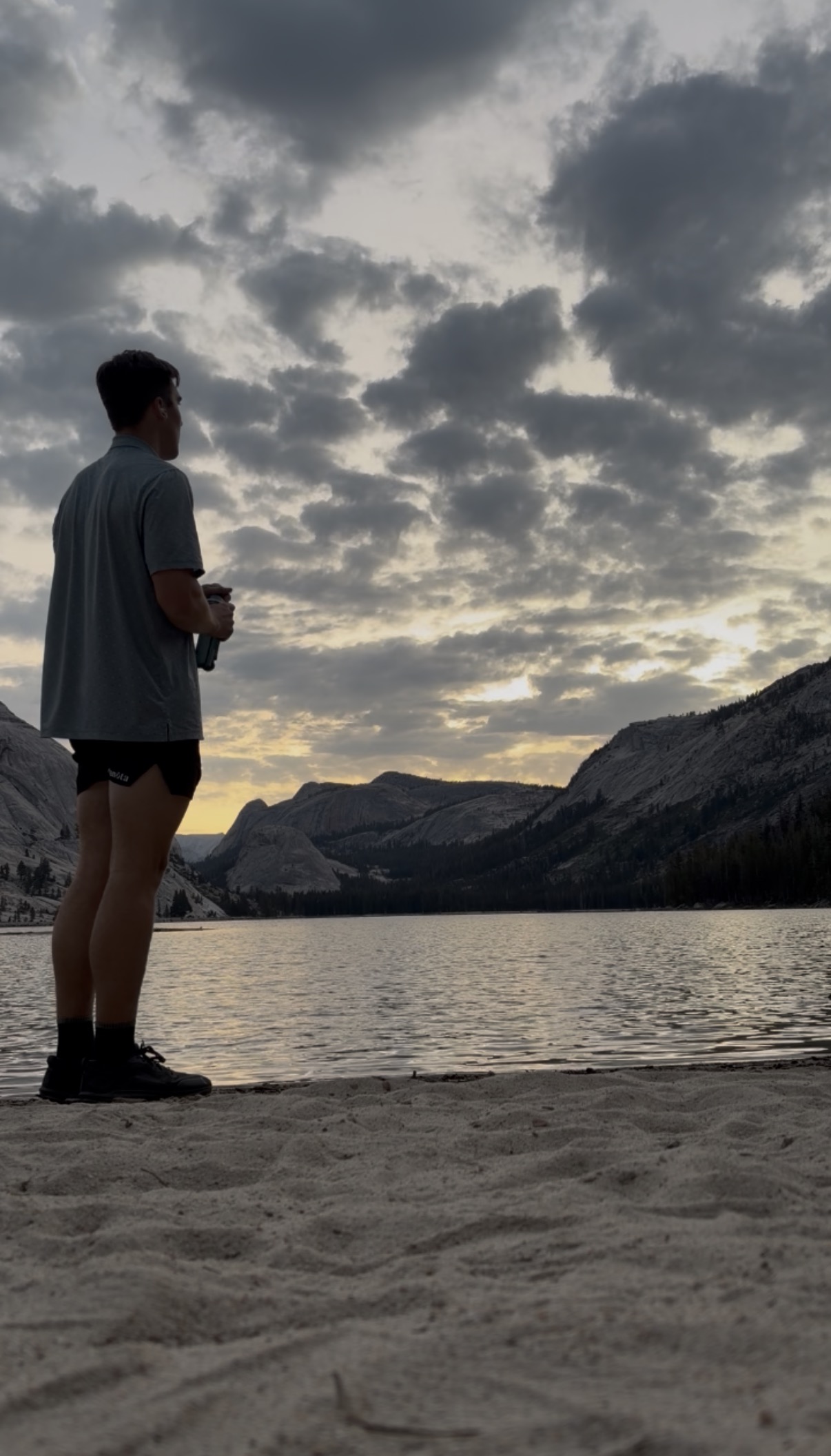
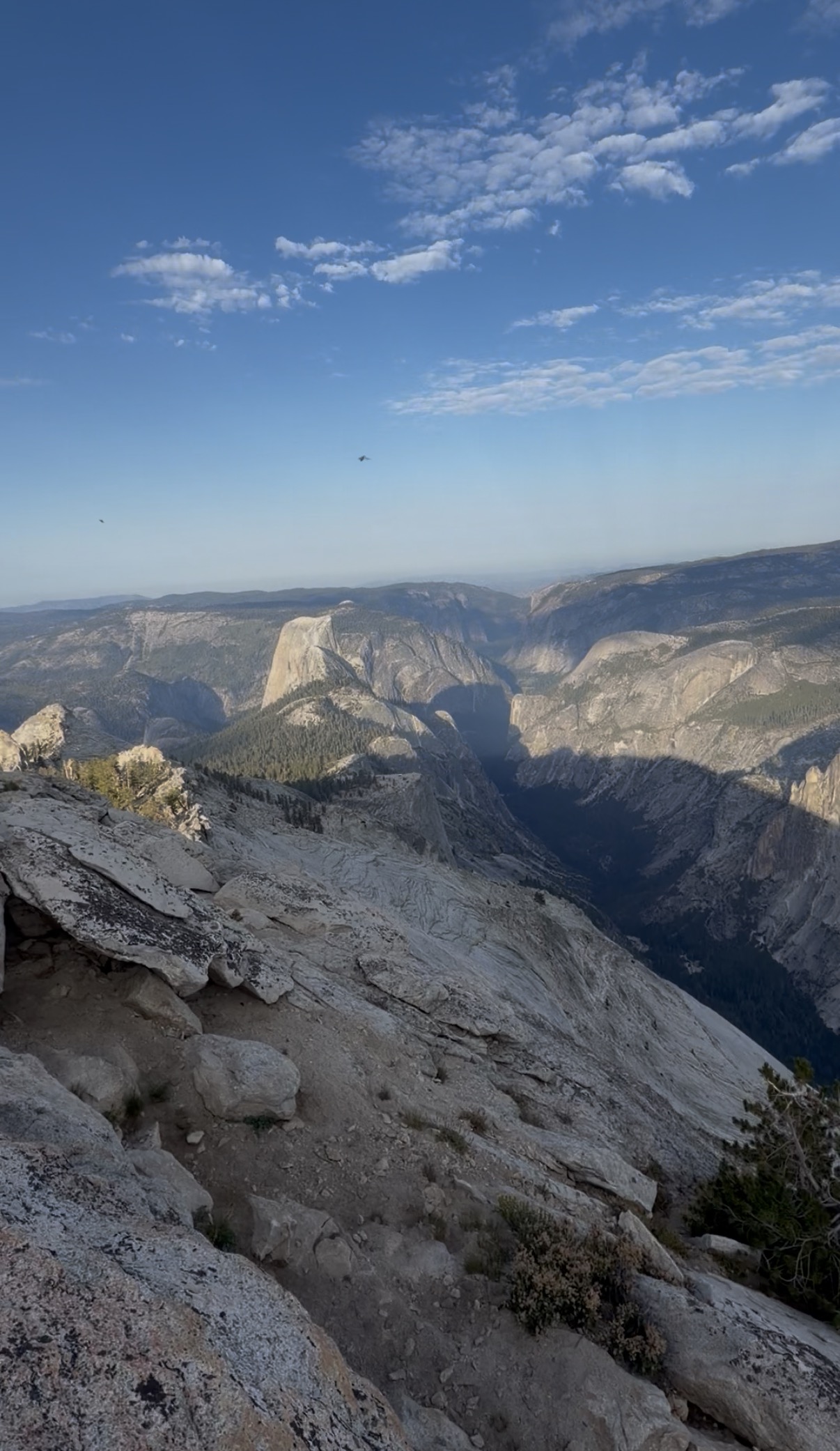
The experience: I left the trailhead parking lot and took a short detour to Tenaya Lake where I filled my flask with water. I cruised downhill, admiring the way white granite contrasted with the orange light peeking through darker clouds. I quickly reached a section of steep, technical switchbacks that slowed my pace dramatically. My heart rate had ascended into Zone 4 and yet I was trudging upward at only 25 min/mile pace. I remember wondering if it was the trail or if my body was just cooked. Luckily that climb only lasted a mile and I was able to continue at a more reasonable pace. I was surrounded by granite boulders and scraggly trees (their larger size told me I wasn’t in the true High Sierra).
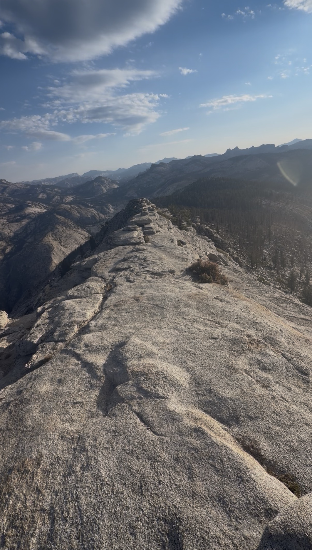
As I traveled the last mile to my destination, the trail gradually transitioned from a mild dirt hill to a narrow, rocky ridge. The formation known as Cloud’s Rest is very prominent relative to the surrounding terrain and looks down on Half Dome. If I fell off the north side, my body would roll and tumble for over 4000 ft before stopping. I took a break for ten minutes to take in the views (my Achilles heel of all distractions). As I ate snacks and snapped some pictures, a little squirrel came over to say hi. I informed him that I couldn’t share my snacks (Leave no trace) and gave him advice on some better spots to find nuts. I re-tied my shoes, let myself enjoy the scenery for a few more seconds, and left.
On the way back, I chose to go fast. The 1.2 mile segment coming immediately after Cloud’s Rest was a steep but cruisy descent where I ran ~7:45 min/mile pace. Unlike running this speed on a smooth road, this required avoiding gnarly rocks and roots, leaping over gaps, and quick pivots to follow the switchbacks. I have never had to focus this hard or felt so much pressure with each step. Maybe, this is a glimpse into the thrill of riding a downhill mountain bike. I ate shit once but escaped with only a muddy scrape. The remainder of my return was pretty uneventful. When I got back to the steep, technical section from earlier, I was ready to cruise downhill. However, the path was filled with irregular stone steps and an increasing flow of day hikers to dodge. I rolled my ankle once, thought I was donezo, but it was fine. I stopped at Tenaya Lake again to refill my flask for the upcoming drive and then traveled onwards to Colorado.
3. Highland Mary Lakes
Location: San Juan Mountains, CO
Date: August 9th
Distance: 10.71 miles
Time: 2h35
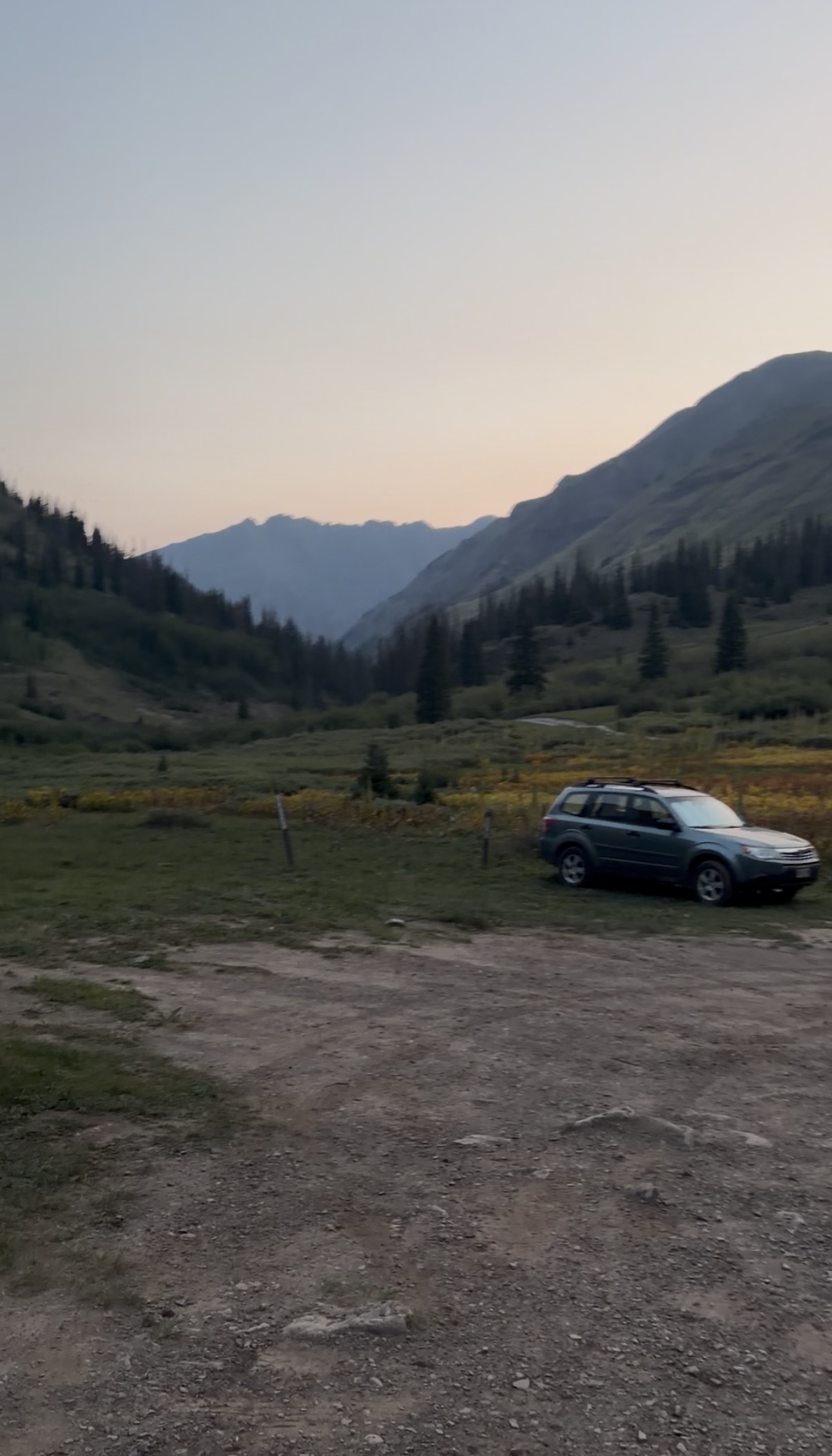
Backstory: After the previous adventure to Cloud’s Rest, I drove 17 hours to Highland Mary trailhead. The drive cut through Tioga Pass Road, Nevada, Utah, and Colorado and it was the most scenic day of driving I have ever had. After over 16 hours in the car, it was dark and I was confused why google maps claimed that it was going to take 43 minutes to drive the last 9 miles. The dirt road progressively got worse. Pretty soon, I was driving over huge holes and steep angles in every orientation.
Roughly 2 miles from the trailhead parking lot, I reached an exceptionally steep section of road with a deep trench cutting perpendicular across the road. On my first attempt, I tried driving over and got stuck. After spending a few minutes spinning tires, I was able to back out. I tried a second time, failed, and freed the car again. I strongly considered turning around but I would have to reverse (in the dark) for miles along a narrow road with a cliff to my left and a sheer face to my right. So, I gave it one more try and floored it, aiming to the right. My car bounced off the right face, and the front end somehow caught the edge of the crater and popped over it. My wheels spun furiously for a few seconds before I finally felt the car lurch forward. I made it.
Google maps showed only 0.2 miles to the trailhead, and I started the first steep descent of the drive. Suddenly, I was staring at 35 feet of water rushing between me and the road on the opposite bank. At that point, I was so tired and over it. It took half a second to decide to push through. The crossing was uneventful and the maximum depth was only 18 inches. I got to the parking lot and passed out to the gurgle of the creek in the distance.
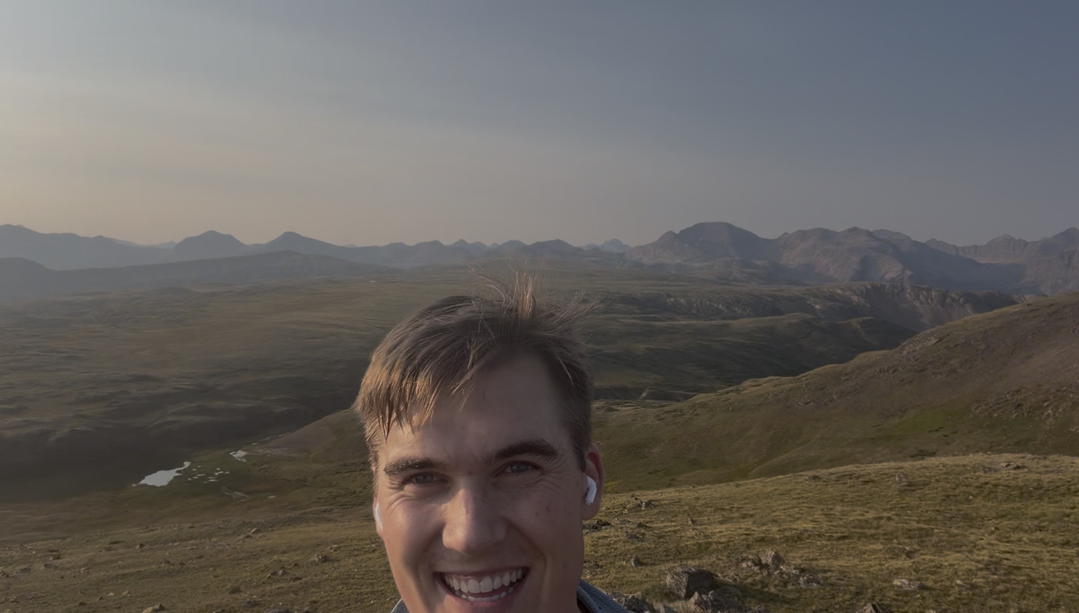
The experience: When I woke in the car, I didn’t want to move. But nature called and I needed water from the creek. The moment I stepped outside, the cold, dry mountain air hit me and I looked up to find that overnight, a valley had revealed itself around me. A switch flipped. Within seconds, I realized this was a very special morning. The trailhead began at 10,800 ft and the path was steep and rough. I toiled upwards, sometimes using my hands to scramble up short rocky inclines, following a creek through the valley until the trail opened up at 12,000 ft.
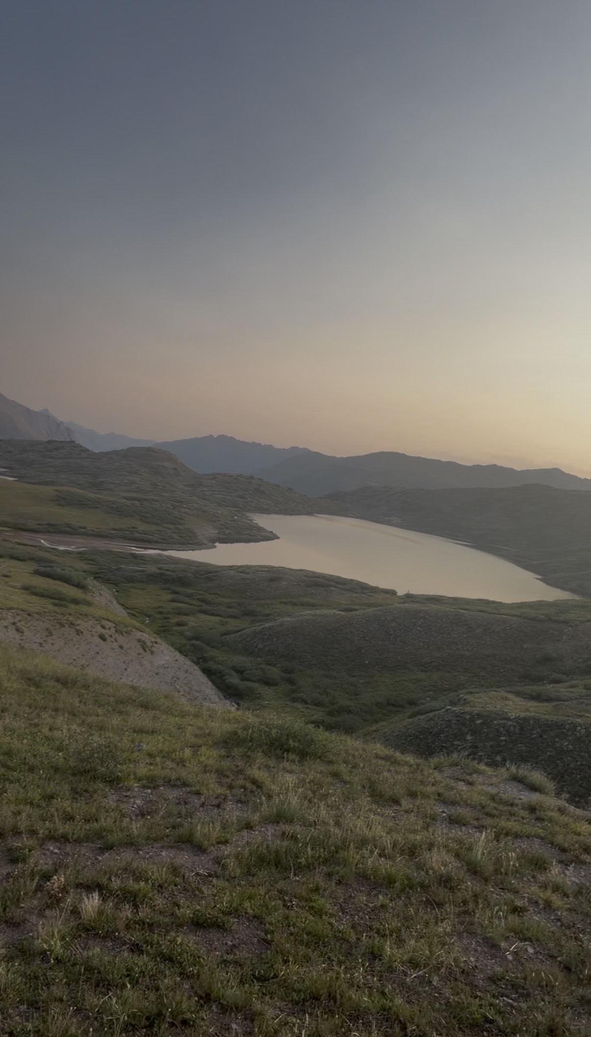
Suddenly, I was moving through a wide drainage filled with a succession of lakes. Some small, some larger, all of them completely still. The smoky wildfire light of the morning was sitting in the reflections and it was beautiful. This altitude was too high for trees, but the landscape was covered in short bushes and long grasses. I reached a fork and followed the sign pointing towards the CDT. I didn’t have a map, but navigation was easy. The trail only forked a couple times and the surrounding topology was distinctive. Unlike every other trip, I had no planned route and I could go wherever I wanted.
I climbed a small hill and then set my sights on a higher ridgeline, leaving the trail to forge my own path up a mountain covered in tussocks. If you haven’t encountered tussocks before, imagine foot-sized holes hidden under grass, densely packed across an entire mountainside. I picked my way up carefully. At the top, I meandered along the ridgeline. The surrounding mountains were irregular, some smooth, some jagged, and they stretched in every direction farther than I could explore in weeks. I had barely scratched the surface and I promised myself I would return. My malfunctioning Garmin was reporting an altitude of -42,000 ft, but I later learned I had reached 12,900 ft. The descent was slow. Running the tussocks would have been suicidal and I knew it. My return to the car was pedestrian, I jogged down the runnable portions and walked the rest. P.S. When I got to the parking lot, I realized I needed 0.5 miles to keep my 60/week streak so I ran back and forth for a bit.
2. Elizabeth Pass Loop
Location: Sequioa National Park, CA
Dates: June 19th/20th
Distance: 54.35 miles
Time: 29h08
Backstory: After work on Thursday, I left Milpitas to drive five hours to Lodgepole (Friday was Juneteenth holiday). I slept in my car at a picnic spot and was waiting in line to get a permit when the ranger station opened at 7 AM.
The experience: I originally envisioned this to be a three day trip. The first day would be 20ish miles to Hamilton lakes, the second day would be 20ish miles to Lost lake, and then another 15ish miles back to the starting point in Lodgepole. When talking with the ranger at the permit station, he mentioned that the north side of Elizabeth pass might have some snow and to be prepared if my trip took four days. I forgot to pack a water bottle but I was lucky enough to find a few guys from SD that gave me one of their extras.
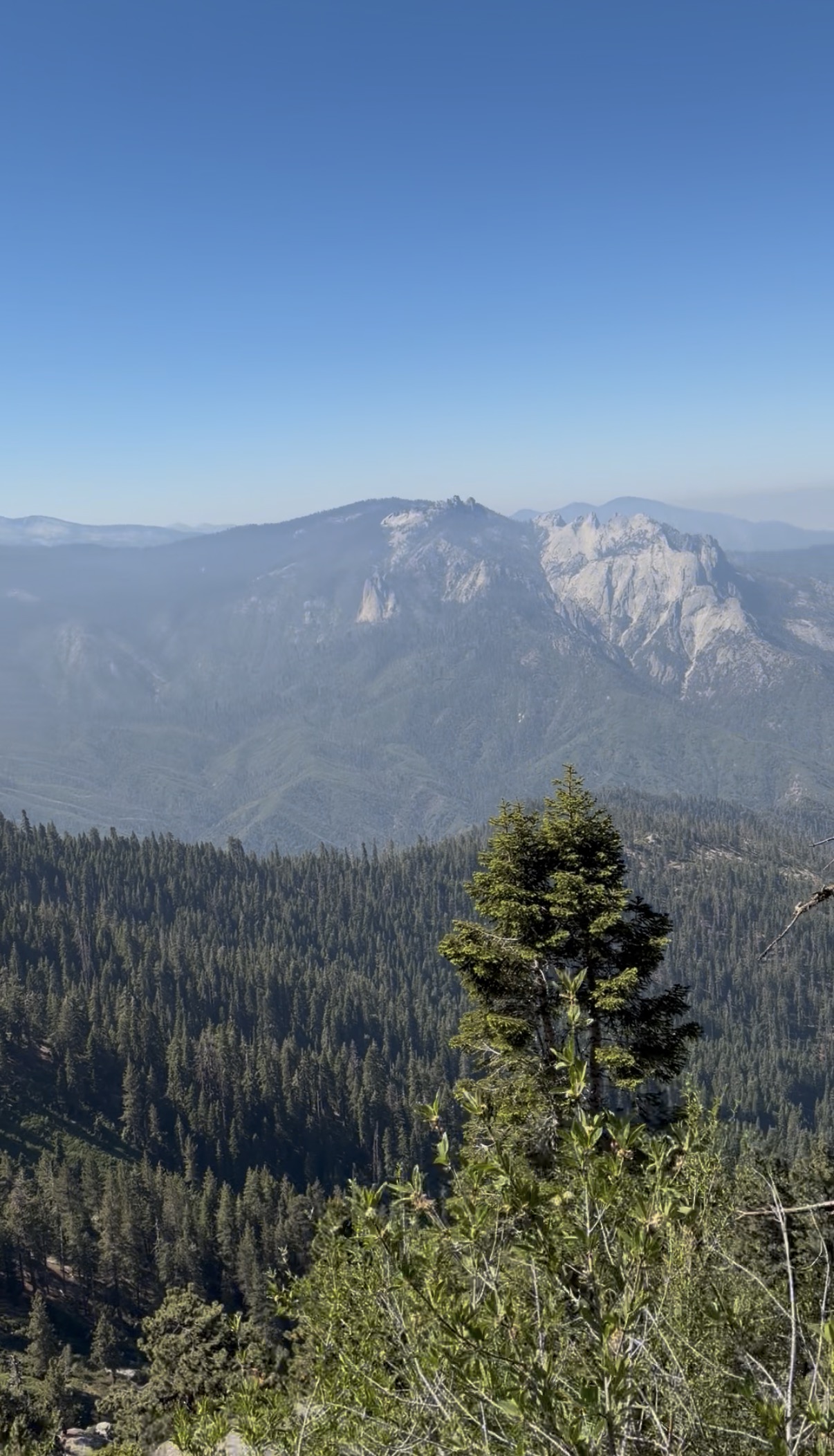
The trail initially passed through dense pines until I got lost in a large meadow. I found the trail again and climbed up to Panther gap. After passing over this crest, the trail turned to follow the south face of a massive canyon. For almost 10 miles, I was treated to sweeping views on my right while I made the first big decision of the trip. If I followed my original plan, I would have arrived at Hamilton lakes around 3 PM. I was feeling good and ambitious, so I set my sights on Elizabeth pass.
At the next fork, I started taking the Over The Hill trail which had way more bushwhacking and steepness than anything before. All morning, I had been pushing hard (averaging 3.4 mph). This did not continue on the section to Elizabeth pass (4.3 miles, 4000 ft of altitude gain and I felt it). My heartrate increased, my legs groaned, and my pace slowed. However, the epic views of sharp ridgelines and towering peaks kept morale high. Upon reaching the top of the pass, I realized that I had a large, steep snowfield between me and my destination.
I had no idea where the trail was, but I knew that I could find it again if I could descend into upper Deadman’s canyon. So, I decided to swing wide left and scramble downwards along some exposed boulders on an eastern facing slope. Initially, this was the kind of scrambling that requires three points of contact at all times. It gradually became easier and eventually I was hopping down boulders, punishing my knees and shins. After over an hour of this fun slog, I connected back with the trail and began trekking through upper Deadman’s canyon. This was an empty, epic section of trail that intertwined meadows in a high valley framed by pretty cols.
The middle section of Deadman’s canyon sucked was not my favorite. There were water crossings where I had to wade across, the trail was consistently blocked by downed trees, and worst of all, there were mosquitoes. As my altitude dropped, the scenic views and the glorious twilight lighting both faded. This was my only low point of the trip. Physically, I was feeling pretty beat up. The day contained 33 miles of hiking at altitude, including 8000 feet of climbing. I wasn’t appreciating the wilderness around me. That’s when I made a great decision. I turned left, walked for a hundred feet, and found a place to drop my tarp.
It took me ten minutes to get comfortable (laying down in my sleeping bag with my teeth brushed and socks off) and I was feeling so much better. I flexed my feet and giggled at the weird combination of pleasurable stretch combined with intense soreness. (I am weird.) Tents are heavy, they block your view of the sky and significantly reduce the amount of delicious mountain air you get to inhale. So, I didn’t bring one. As I was falling asleep, I could stare at the stars above me. Since I was over 20 miles from the closest road and even farther from actual civilization, with little moisture in the air, the sky was stunning. I’m no astronomer, but I could pick out thousands of stars I don’t normally see and the faint clouds of interstellar dust. That kind of sky makes it impossible to forget how much universe is out there.
I woke up to the sound of birds and a sky filled with the brilliant shades of dawn. None of my belongings had been nibbled on by curious creatures. I packed quickly and found myself cruising along a rolling trail. I traveled through a series of valleys that were relatively dense with trees and foliage. Life felt so simple. Walk. Eat. Drink. Pee. Sleep. And think. And wonder. And dream. I am always doing these actions, but out here there was more space for awareness and understanding. During these states of mental minimalism, I am better equipped to think about the shape of the world and how I fit into it.
The last climb of the trip was gradual until the last punch over Silliman Pass. I was offered plenty of sweeping views of endless conifers that contrasted with the brighter alpine ridges in the backdrop. The descent from Silliman pass was the first time I increased the pace past a brisk hike. I jogged for 70% of the remaining miles as I descended almost 3500 feet back to Lodgepole. On the way, I quickly passed Twin lakes, Cahoon lakes, and I finally regained contact with other humans for the first time in 35 miles. I reached the car and on my drive out, I stopped at the Lodgepole permit station to use the bathrooms. Dozens of people were milling around the facilities, and I noticed something I had never been able to name before. My mind was quietly bracing itself, preparing to re-engage with the noise and unpredictability of regular life. I returned to the car and I felt tired. I turned on a podcast and that low buzz in the back of my head faded away.
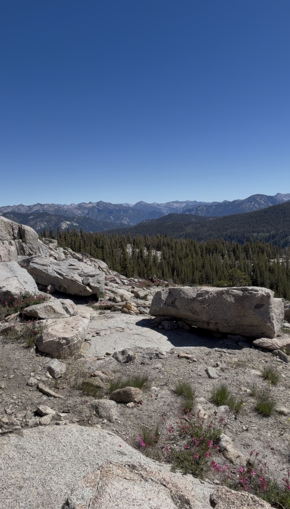
1. Rae lakes Loop
Location: King Canyon National Park, CA
Date: August 1st
Distance: 40.32 miles
Time: 11h32
Backstory: I left work on Friday around 5:30 PM and drove 6 hours directly to the road’s end parking lot. I slept in the car for 5 hours and hit the trail right before 6 AM.
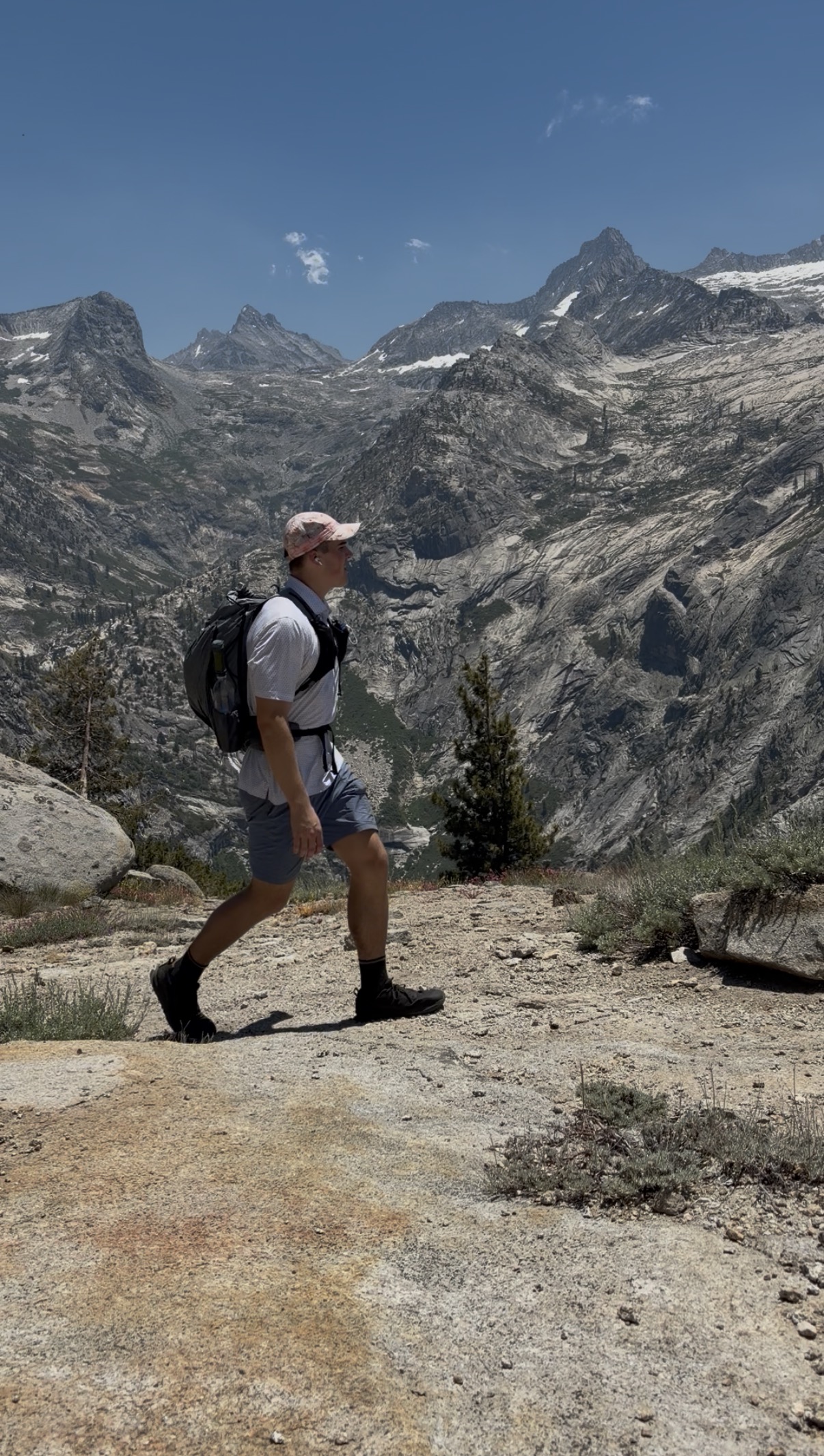
The experience: This hike had been on my bucket list for a very long time. Unfortunately, overnight permits are extremely competitive. I didn’t have one, so I planned to cover the entire route in a single day, going in the clockwise direction. This requires an ascent along the Woods creek valley, passing through paradise valley, joining the JMT/PCT to head south through the Rae lakes basin, an ascent up to Glen Pass, a descent down to Bubbs creek, and then finally following Bubbs creek back to the Road’s End trailhead.
I started off the day running the flats and mild uphills but transitioning to a power hike for the steep stuff. I knew it was going to be a long day and so I originally wanted to limit my heartrate to 130 bpm. I somehow gaslighted myself that my heartrate was elevated due to the altitude and that I should go harder. However, I was easily distracted by the magnificence of the sloping granite walls that framed my ascent. I passed the beautiful Mist falls and I got lost for 15 minutes after a water crossing in Lower Paradise Valley.
Around 17 miles in, I joined the JMT/PCT and I crossed the Woods Creek suspension bridge. It may sound odd that this bridge, the most artificial structure for miles, felt like a milestone. However, when you’ve been to this spot, you truly understand the context of where you are. As I just mentioned, the closest road is 17 miles away but even that trailhead is relatively unknown and difficult to reach. Aside from the difficulty to access this location, you are surrounded by these views that made me feel so distant from civilization and so deep in the wild.
Soon after, I started to feel like I was bonking. I need to give my future historians some context. The previous night, I pregamed with a whole Costco pizza of carbs and I ate some protein with a couple bananas that morning. Throughout the hike, I planned on consuming roughly 5000 calories of carbs (aka candy). For potentially the first time ever, I completely lost interest in food. It wasn’t that my stomach hurt or that I had other GI problems, I was just rejecting the idea of putting any nutrition in my mouth. I still have no idea why. Some combination of the altitude, the physical exertion, and the complete lack of food was just wrecking me.
I decided (was forced by my body) to start walking. I trudged upwards along the south fork of woods creek which passed through a series of pretty meadows. I focused on being present. Smelling the air, listening to flowing water and birds, staring at anything other than my feet, and feeling the sun as it burned my skin (oops sunscreen).
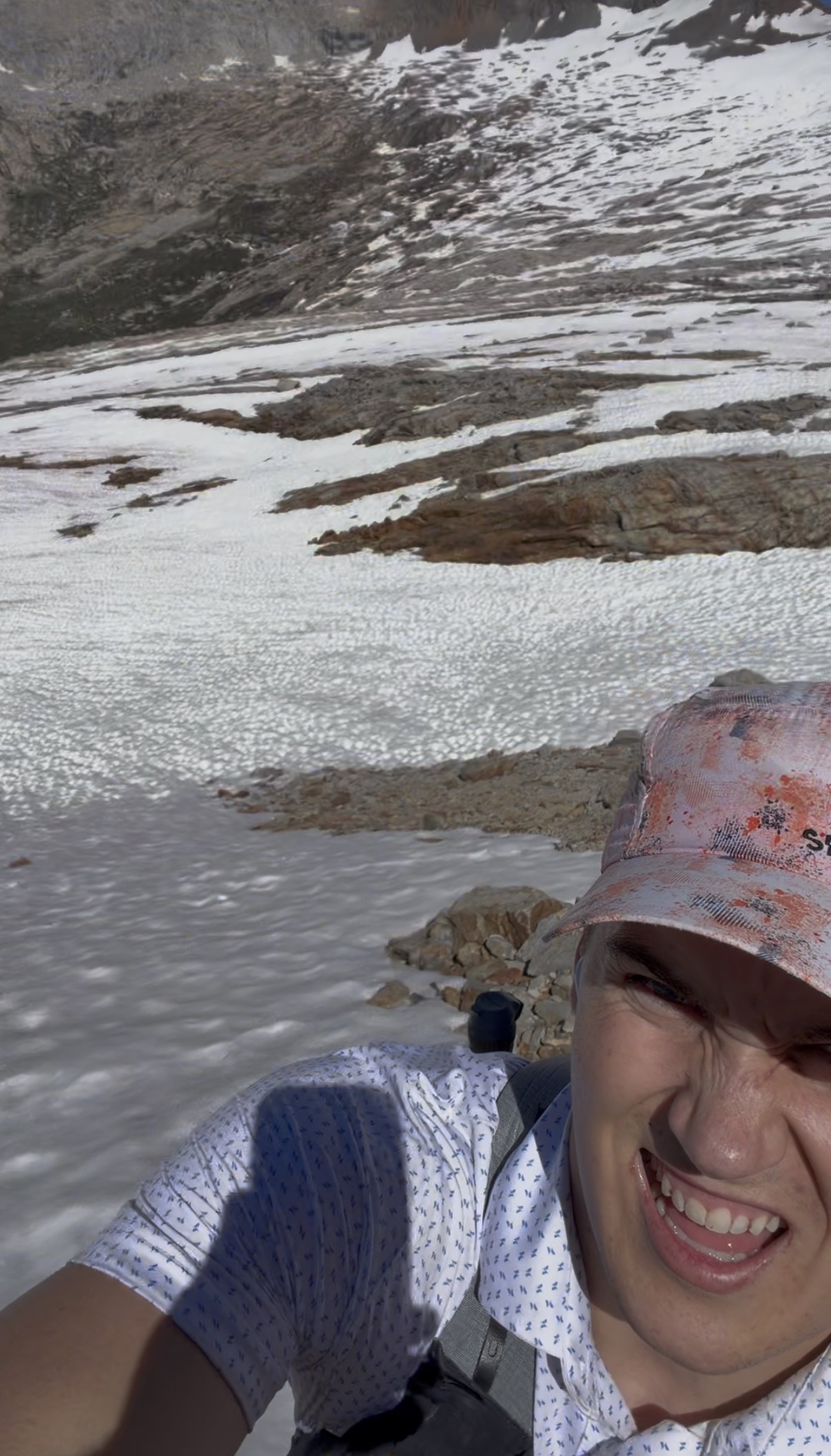
I sank deeper into existential thoughts and pushed farther into the increasingly majestic Rae lakes basin. As this happened, I began to feel better. I started jogging some more and happily climbed the steep trail to Glen Pass. At the top, I asked a nice lady to take a few pictures of me, and I continued onwards. The descent from Glen Pass had beautiful views of alpine lakes sitting in their rocky bowls. The trail was very steep, loose, and rocky. I still had the presence to slow down and save myself an expensive helicopter ride.
As I pushed onwards, I began feeling worse. My body had been sending distress signals for hours and I had nothing to reply with. As I dropped in elevation, the afternoon temperatures rose (above 90 °F in the valley). I brushed past an innocent plant and my knee was implanted with dozens of tiny, burning barbs. I felt broken and disappointed in the misery of my existence. I had come here to do something hard and experience a majestic wilderness, but I felt like I was failing at both. I lay down and planned to use my light rain jacket to sleep in for the night before hiking out the next morning.
Lying there, I thought about why I do this. I’m not interested in simply chasing my physical limit, I want to see what kind of person that exposes. When I’m at my limit and broken, I want to be a person that I’m proud of. A person that is happy, kind, thankful, and doesn’t give up.
Within a few minutes, I changed my mind. I was going to finish, and I was going to give whatever was left. It wasn’t pretty. It wasn’t fast. I mostly stumbled my way down 8 more miles of trail. But I did it. And I tried to enjoy it. And I focused on gratitude. Gratitude for the opportunity to be in this beautiful place, to have a body that can move me, to have people in my life that I love, to have dumb ideas, and to feel these powerful, imperfect emotions. Days like this empty me out completely. It will be months before I want to do it again, but I know I will.
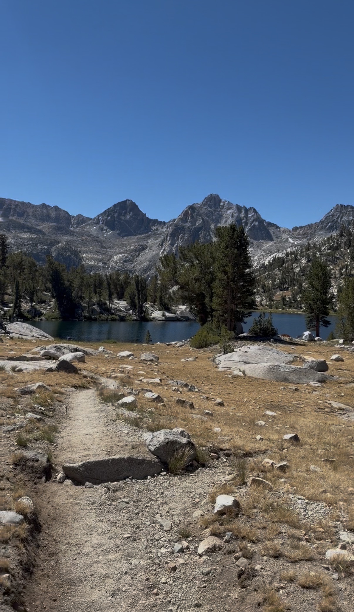
To traverse the Rae Lakes basin, the trail weaves between a series of lakes, nestled between epic peaks. 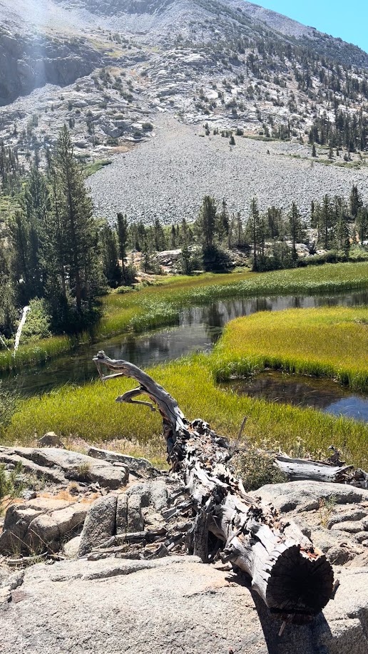
An alpine meadow interwoven by the south fork of Woods creek. 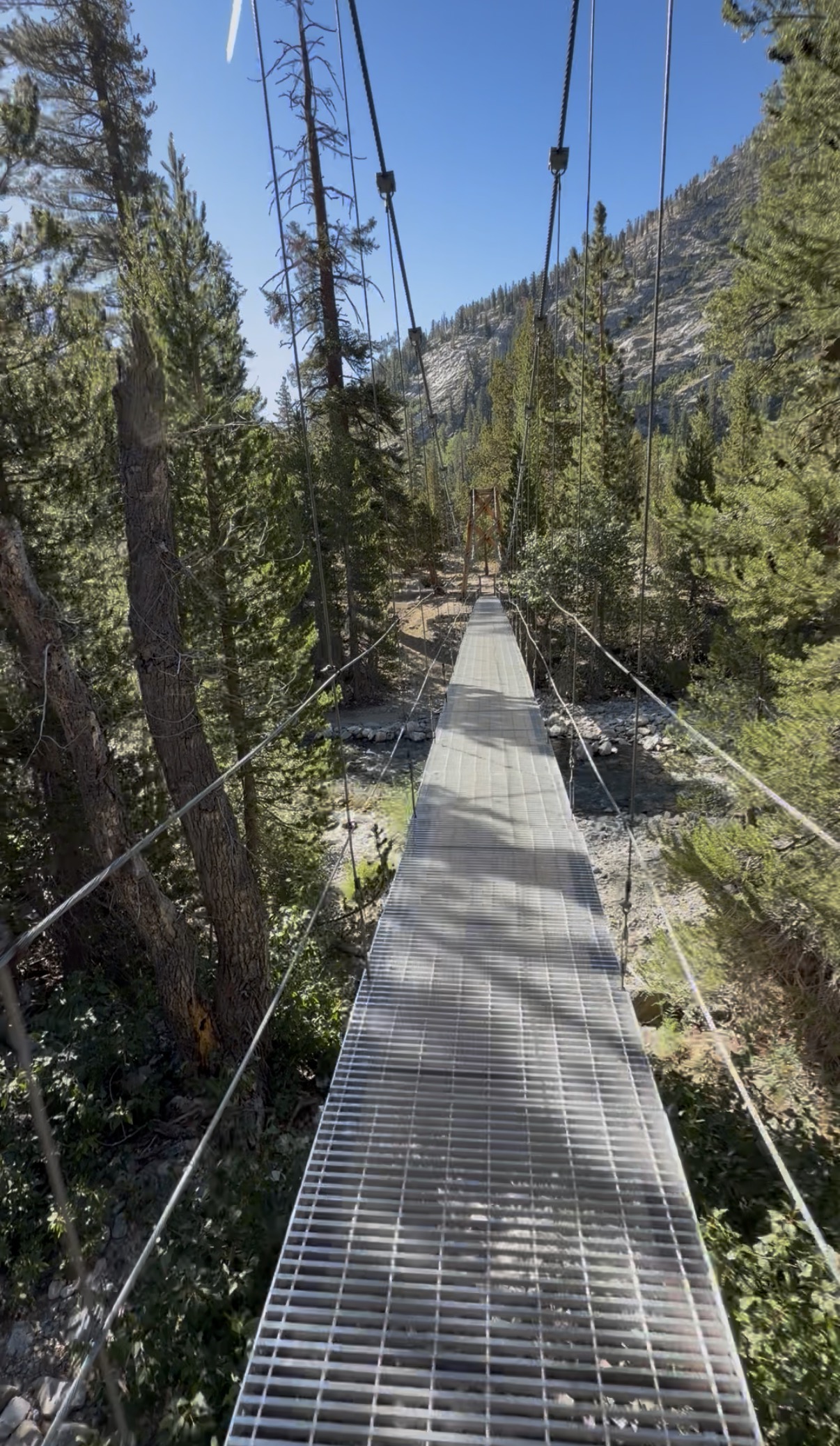
Woods creek suspension bridge. Probably the most iconic bridge in the Sierra backcountry. 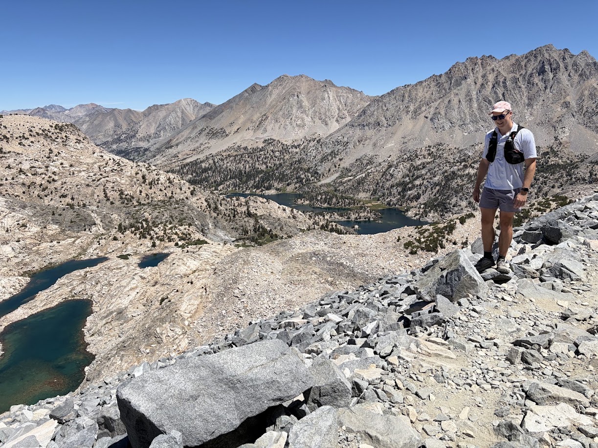
Glen pass. High point of the trip at 11,900 ft. Image looks north towards the Rae Lakes basin. 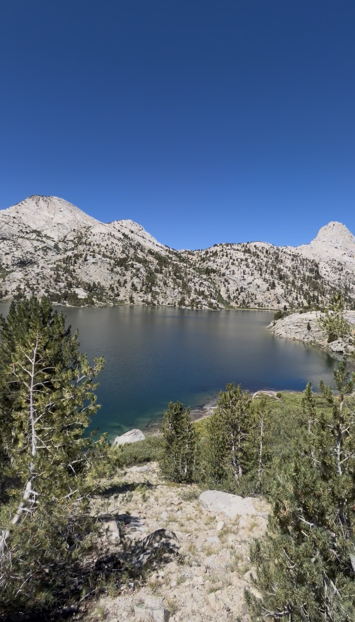
A view of one of the larger Rae Lakes.


Leave a Reply